
Independently Owned, Locally Grown, Community Loved


Saturday the 10th of January
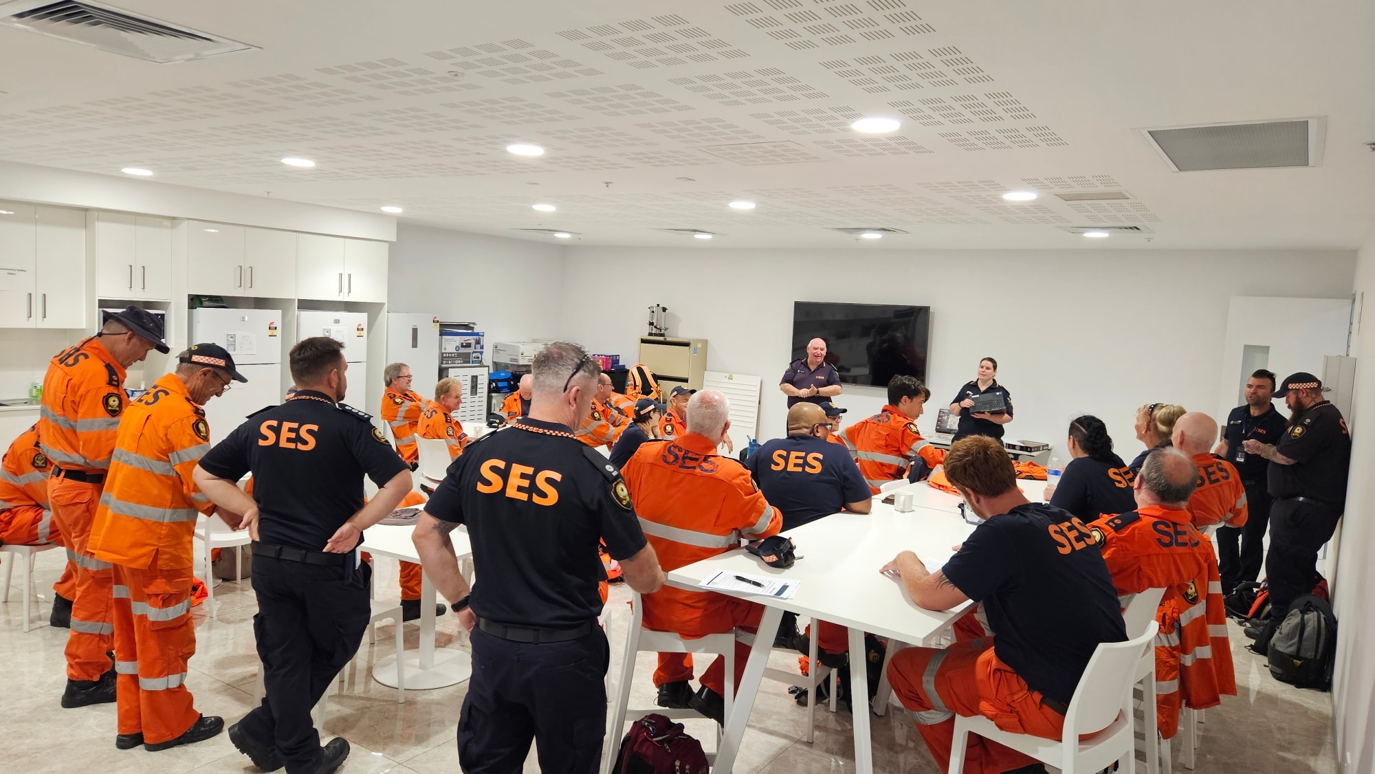
Over the course of Saturday morning, severe weather continued to develop across the Burdekin Shire, prompting the release of an initial Watch and Act warning for residents at 10am, and an official movement from the Burdekin Local Disaster Management Group (LDMG) to Stand Up.
Burdekin LDMG Chair, Mayor Pierina Dalle Cort said the decision ensured the group could respond quickly to any potential impacts.
“The safety of our community is our highest priority. Moving to Stand Up means we are fully activated and ready to coordinate resources and support as this system approaches,” Mayor Dalle Cort said.
The Burdekin LDMG issued a Watch and Act warning at 2:15pm via the Burdekin Disaster & Emergency Information dashboard for the Burdekin Shire, advising residents to prepare to take shelter amid the possibility of destructive wind gusts exceeding 130 kilometres per hour.
Residents of Groper Creek and Rita Island were advised to monitor conditions at 4pm as rising river levels threatened the possibility of isolation, building on the previously advised warning released on Thursday, the 8th of January to stay informed.
Just before 8pm on Saturday evening, the BOM confirmed Ex-Tropical Cyclone Koji, a category two system, had formed in the Coral Sea offshore of the North Tropical Coast. Tracking the system's movements, the BOM forecast Koji would cross the coast on Sunday morning between Townsville and Bowen and eventually weaken after tracking westwards.
Coinciding with the news from the BOM, the Queensland Police Service (QPS) issued an emergency alert for the Burdekin LDMG advising the region may be directly affected by Ex-Tropical Cyclone Koji. QPS advised destructive winds were expected to strengthen overnight, strongly warning the community to take shelter immediately, remain indoors and avoid unnecessary travel.
At 8pm, Burdekin Life spoke directly with Burdekin Shire Council Mayor Pierina Dalle Cort to develop the following statement to update and reassure the community.
“Stay home and stay safe until we make it through the crust of this being a category two Tropical Cyclone because anything could happen between midnight and the early hours of the morning - at this stage, it looks to be heavy torrential rain, so please stay off the roads, and stay home,” said Mayor Dalle Cort.
“If anyone’s concerned about being home alone, call a friend, relative or loved one to stay connected – you are not alone, and support is here if you need it.”
Mayor Dalle Cort encouraged the community to continue monitoring the Burdekin Disaster & Emergency Information dashboard for regular updates and visit https://disaster.burdekin.qld.gov.au/ for more information.
Sunday the 11th of January
At approximately 5am on Sunday morning, Ex-Tropical Cyclone Koji downgraded from category two to a category one weather system, coinciding with the cancellation of the emergency alert for Townsville and the confirmation of a new warning zone extending from Ayr to Mackay. The BOM recorded wind gusts reaching 120 kilometres per hour as the system continued to move south at 18 kilometres per hour before making landfall and crossing the coast between Ayr and Bowen at approximately 8am on Sunday.
Roughly three hours after Ex-Tropical Cyclone Koji made landfall, the Burdekin Disaster & Emergency Information dashboard advised the community the system had weakened below tropical cyclone intensity, confirming the threat of the event had reduced. Issued at 11am, the report outlined the BOM’s confirmation of heavy rainfall between Ayr and Mackay and the possibility of flash flooding along coastal areas between Ayr and St Lawrence.
Also at 11am, the Burdekin Disaster & Emergency Information dashboard issued a Watch and Act warning for residents of the Jerona Township, advising the community to monitor conditions following the recent flooding that affected access to Jerona Road.
Monday the 12th of January
In the wake of the weekend’s wild weather events, the Burdekin Disaster & Emergency Information dashboard issued several Watch and Act warnings, advising residents of the Groper Creek and Rita Island regions to monitor conditions. The Burdekin LDMG advised the Burdekin River at Inkerman Bridge was currently sitting at 4.8 meters as of 11am on Monday, noting the level was expected to rise overnight to over 7 meters, exceeding the minor flood level with further rises possible.
Just after 1pm on Monday, the Burdekin LDMG moved to Lean Forward status following on from an official meeting, with Mayor Dalle Cort advising the group will continue to closely monitor weather conditions and river levels to ensure the safety and well-being of residents.
“Jerona community currently remains isolated, and the Burdekin LDMG is continuing to monitor weather conditions and rising river levels,” Mayor Dalle Cort said.
“Moving to Lean Forward enables the LDMG to remain ready to respond quickly if conditions change.”
Publishers Indemnity. Any individual or entity that places advertising, supplies copy material, or submits editorial content to Core Life Publishing agrees and undertakes to ensure that all such material:- Does not infringe upon any copyright, trademark, or other intellectual property rights;- Is free from any content that could be considered defamatory, libelous, or slanderous;- Does not infringe upon any rights related to privacy or breach of confidence;- Contains no obscene, indecent, or otherwise unlawful material;- Complies fully with the Trade Practices Act and all other applicable laws, regulations, or statutes.Furthermore, by submitting or placing such material, these individuals or entities agree to indemnify and hold harmless the publisher, Core Publishing and Events Pty Ltd, and/or its agents from and against any and all investigations, claims, demands, liabilities, damages, costs, or judgments arising out of or in connection with the material provided. All material is believed to be accurate at the time of printing and remains the copyright of Core Publishing and Events Pty Ltd.
© 2026 Life Publishing Group Pty Ltd.